


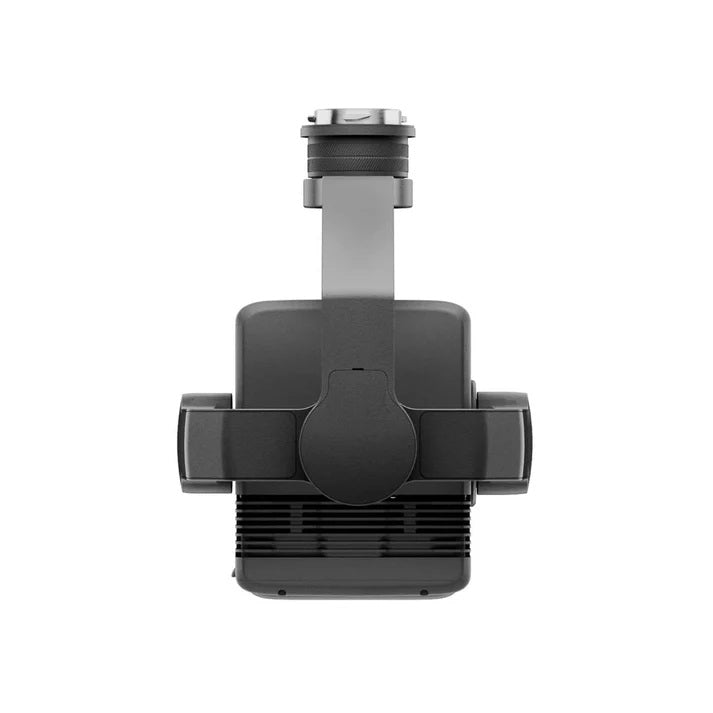
Unlock next-level geospatial intelligence with the DJI Zenmuse L2 – a professional-grade LiDAR and RGB camera payload engineered for accurate 3D mapping, real-time insights, and mission-critical reliability.
Built for demanding aerial operations, the Zenmuse L2 integrates a high-performance LiDAR module, a 20MP RGB camera, and a powerful IMU and GNSS system—all in a compact, IP54-rated design.
Key Features
-
LiDAR + RGB Integration: Combines high-density LiDAR data with crisp RGB imaging for detailed 3D models.
-
Centimeter-Level Accuracy: Integrated IMU and GNSS deliver horizontal accuracy of 5 cm and vertical accuracy of 4 cm at 150 m.
-
Long Detection Range: Achieve up to 450m detection at 50% reflectivity.
-
Multiple Returns: Capture up to 5 returns per pulse for deep vegetation penetration and dense point clouds.
-
Live Point Cloud Streaming: Real-time visualization enables in-field decision-making.
-
Seamless DJI Terra Integration: Supports post-processing workflows with output formats like LAS, PLY, and PNTS.
-
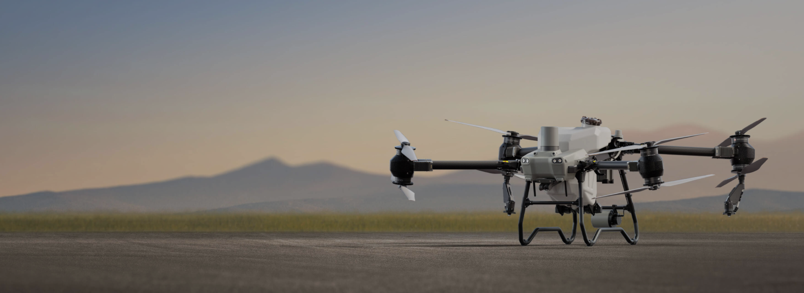
Enterprise-Ready: Compatible with Matrice 300 RTK and M350 RTK drones.
-
Rugged & Weather-Resistant: IP54-rated and tested for durability in extreme environments.
Why Choose Zenmuse L2?
Precision Meets Performance
Whether you're conducting topographic surveys, infrastructure inspections, or environmental monitoring, the Zenmuse L2 delivers reliable data collection across all terrains and conditions.
Designed for Professionals
From construction and urban planning to agriculture and public safety, this sensor is built to perform under pressure and deliver results that matter.
DJI Care Enterprise Plus Included
Gain peace of mind with premium coverage for accidental damage, rapid replacements, and professional technical support.
Applications
-
Agriculture & Forestry: Enable precision mapping and yield optimization.
-
Search & Rescue: Identify terrain changes and enhance mission planning.
-
Infrastructure Inspection: Assess and document structural assets with confidence.
-
Surveying & Construction: Generate accurate 3D site maps and monitor progress.
-
Environmental Analysis: Perform ecosystem mapping with clarity and precision.
Specifications Summary
-
LiDAR: Max range: 450m; Accuracy: ±2 cm; Returns: up to 5
-
RGB Camera: 20MP 4/3 CMOS, 84° FOV, 4K video, mechanical + electronic shutter
-
System Accuracy: Horizontal 5 cm | Vertical 4 cm @150m
-
Real-Time Coloring: RGB, reflectivity, distance, and height-based
-
IMU & GNSS: 200 Hz frequency, real-time yaw: 0.2°, pitch/roll: 0.05°
-
Storage: microSD up to 256GB | Raw data: photo, point cloud, GNSS, IMU
-
Build: IP54 rating | 905g | Compatible with DJI Matrice 300 RTK & 350 RTK
What’s in the Box
-
1x DJI Zenmuse L2 Payload
-
1x 128GB microSD Card
-
1x Lens Cap
-
1x Storage Case
-
1x Lens Cleaning Cloth
-
1x DJI Care Enterprise Plus Coverage


Request a Custom Quote
Subscribe to get a 1 time discount!
Be the first to know about new collections and exclusive offers.


