


DJI Matrice 350 RTK Drone for Advanced Industrial Applications
DJI Matrice 350 RTK Drone for Advanced Industrial Applications
DJI Matrice 350 RTK Drone for Advanced Industrial Applications
Couldn't load pickup availability
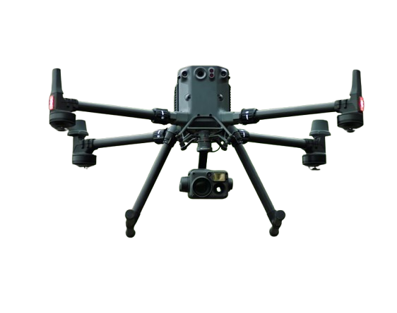
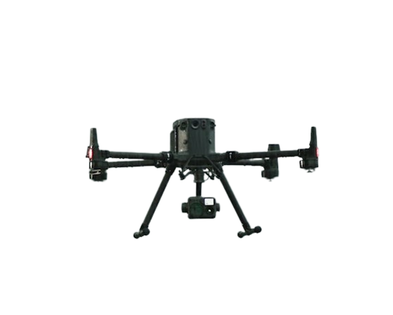
An upgraded flagship drone platform, the Matrice 350 RTK sets a new benchmark for the industry. This next-generation drone platform features an all-new video transmission system and control experience, a more efficient battery system, and more comprehensive safety features, as well as robust payload and expansion capabilities. It is fully powered to inject innovative strength into any aerial operation.

55-Min Max Flight Time

IP55 Rating

DJI O3 Enterprise
Transmission

DJI RC Plus

400 Battery Cycles

6-Directional
Sensing & Positioning

Night-Vision FPV Camera

Multi-Payload Support
Talk to Our Team
DJI Agras T50 Parts & Kits


Subscribe to get a 1 time discount!
Be the first to know about new collections and exclusive offers.

Free Nationwide Delivery
Free delivery on all DJI Agras Drones

Satisfied or Refunded
Please review our return policy

Top-notch Support

Secure Payments
Provided by Avary Drones
- Choosing a selection results in a full page refresh.
- Opens in a new window.