
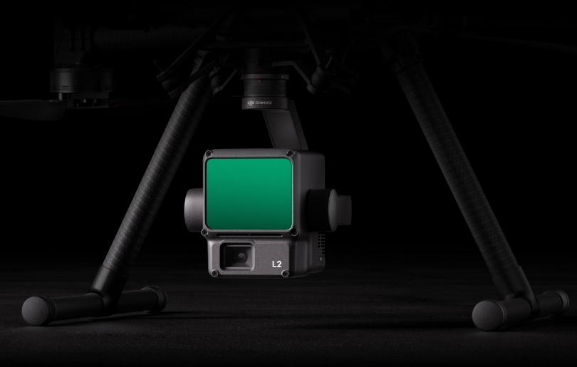
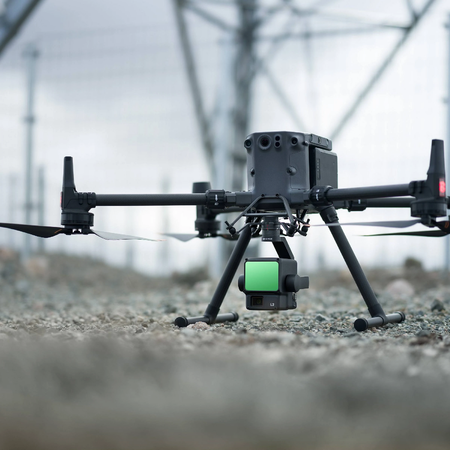
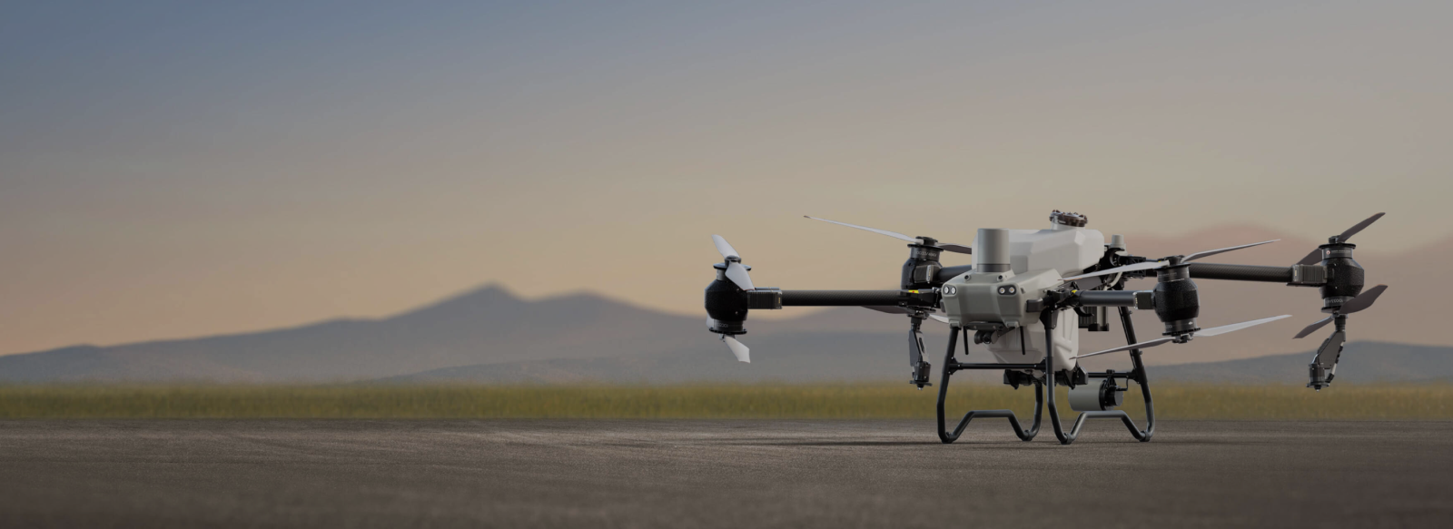
Zenmuse L2 integrates frame LiDAR, a self-developed high-accuracy IMU system, and a 4/3 CMOS RGB mapping camera, providing DJI flight platforms with more precise, efficient, and reliable geospatial data acquisition. When used with DJI Terra, it delivers a turnkey solution for 3D data collection and high-accuracy post-processing.


High Precision
Vertical Accuracy: 4 cm;
Horizontal Accuracy: 5 cm [1]

Exceptional Efficiency
2.5 km2 covered in a single flight [2]

Superior Penetration
Smaller laser spots,
denser point clouds

Detection Range [3]
250m @10% reflectivity, 100klx
450m @50% reflectivity, 0klx

5 Returns

Turnkey Solution [4]

Point Cloud LiveView

One-Click Processing on DJI Terra

Frame-Based LiDAR
30% Detection Range Increase [5]
L2 can detect from 250 meters at 10% reflectivity and 100 klx, [3] and up to 450 meters at 50% reflectivity and 0 klx. [5] The typical operational altitude now extends up to 120 meters, notably enhancing operational safety and efficiency.
Smaller Laser Spots, Denser Point Clouds
With a reduced spot size of 4×12 cm @100m, only a fifth of that of L1, L2 not only detects smaller objects with more details, but can also penetrate denser vegetation, generating more accurate digital elevation models (DEM).
Supports 5 Returns
In densely vegetated areas, L2 can capture more ground points beneath the foliage.
Effective Point Cloud Rate: 240,000 pts/s
In both single and multiple return modes, L2 can reach a max point cloud emission rate of 240,000 points per second, allowing the acquisition of more point cloud data in a given time frame.
Two Scanning Modes
L2 supports two scanning modes, offering flexibility for users based on their task demands. In repetitive scanning mode, L2's LiDAR can achieve more uniform and accurate point clouds while meeting high-precision mapping requirements. In non-repetitive scanning mode, it offers deeper penetration for more structural information, making it suitable for power line inspection, forestry surveying, and other scenarios.
Frame-based Design
The frame-based design results in an effective point cloud data rate of up to 100%. Together with a three-axis gimbal, it brings more possibilities to surveying scenarios.
High-Accuracy IMU System
Improved Accuracy
The high-accuracy self-developed IMU system, combined with the drone’s RTK positioning system for data fusion during post-processing, gives L2 access to highly accurate absolute position, speed, and attitude information. In addition, the IMU system’s enhanced environmental adaptability improves the operational reliability and precision of L2.
Yaw Accuracy [6]
Real-time: 0.2°, post-processing: 0.05°
Pitch/Roll Accuracy [6]
Real-time 0.05°, post-processing 0.025°
No IMU Warm-up
The performance of the IMU system has been significantly enhanced, and it is ready for use the moment it's powered on. And, the accompanying drone is ready to begin tasks immediately once the RTK is in FIX status, delivering an optimized in-the-field experience.
Application Scenarios
In coordination with DJI Enterprise flight platforms and DJI Terra, Zenmuse L2 can be applied to land surveying and mapping, electricity, forestry, and infrastructure management, as well as other scenarios.

Land Surveying and Mapping

Electricity management

Forestry management

Infrastructure management


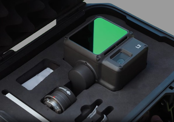
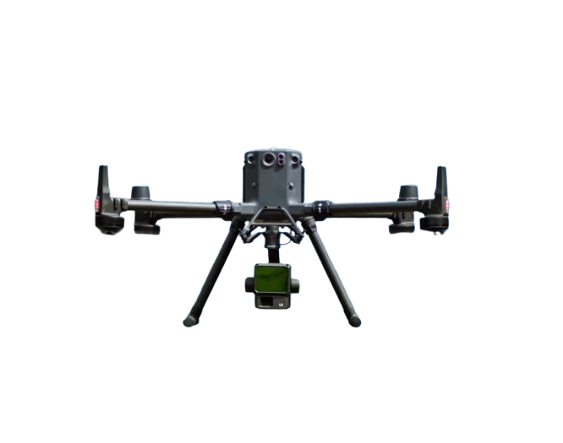
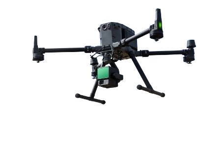
DJI Zenmuse L2 LiDAR
DJI Zenmuse L2 LiDAR
Couldn't load pickup availability
DJI Zenmuse L2: Advanced Aerial LiDAR System
The Zenmuse L2 offers an integrated, high-precision LiDAR solution, designed for efficient 3D geospatial data collection. With frame-based LiDAR, a self-developed IMU, and a 4/3 CMOS RGB camera, it delivers impressive accuracy and range, making it ideal for surveying, forestry, and infrastructure management.
Key Features
- High Precision: Achieves vertical accuracy of 4cm and horizontal accuracy of 5cm.
- Exceptional Efficiency: Covers up to 2.5km² in a single flight, with streamlined operations.
- Superior Detection Range: Effective up to 450m with enhanced visibility and accuracy in challenging terrains.
- RGB Mapping Camera: 20MP 4/3 CMOS camera with mechanical shutter, capturing highly detailed, true-color point clouds.
- Flexible Operational Modes: Dual scanning modes, real-time point cloud display, and auto-generated quality reports for efficient, on-site decisions.
Looking For a comprehensive overview, check the Specifications and Related Documents directly from the brand.
Explore in-depth articles, tutorials, and guides on our Learn Page


Talk to Our Team
Subscribe to get a 1 time discount!
Be the first to know about new collections and exclusive offers.


