


Regular price
$5,250.00
Regular price
$5,799.00
Sale price
$5,250.00
Unit price
per
Shipping calculated at checkout.

Couldn't load pickup availability

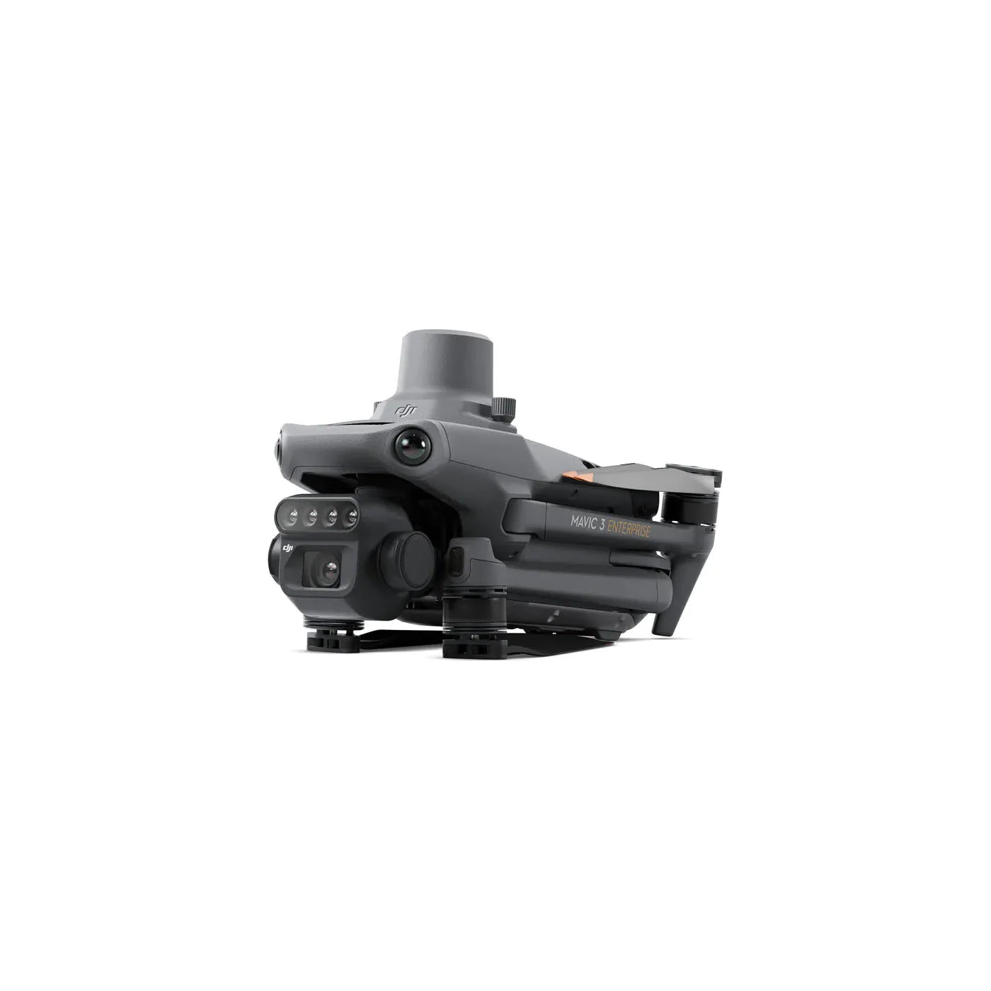
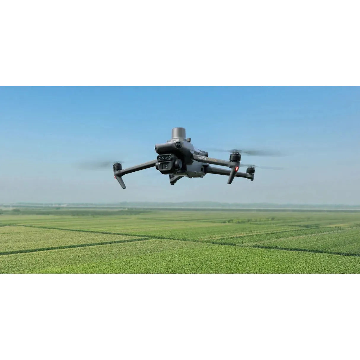
Effective aerial surveying needs to see the invisible. That's why Mavic 3 Multispectral has two forms of sight. It combines an RGB camera with a multispectral camera to scan and analyze crop growth with total clarity. Agricultural production management requires precision and data, and Mavic 3M delivers both.

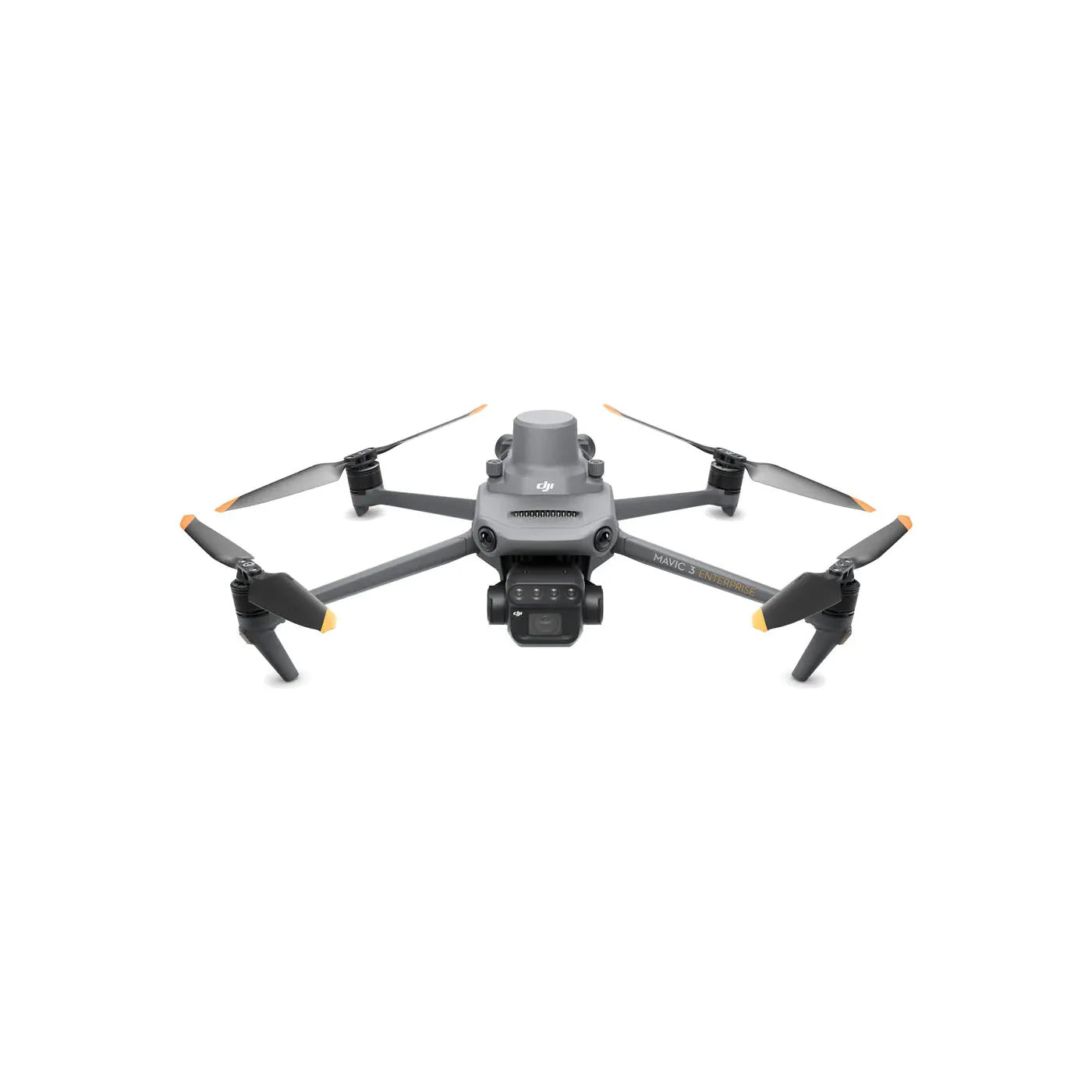
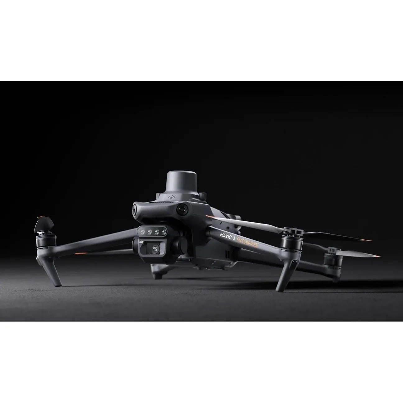
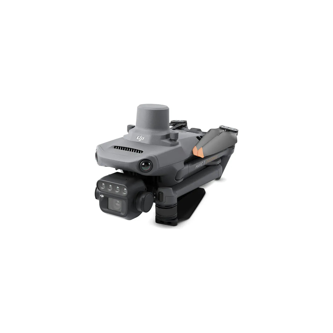
Compact and portable
Foldable for easy storage
Multispectral Camera
4 × 5MP
G/R/RE/NIR
RGB camera
20 MP
4/3 CMOS, mechanical shutter
Safe and stable
Omnidirectional Obstacle Avoidance [1]
15km Transmission Distance [2]
Precise positioning
Centimeter-level RTK positioning
Microsecond-level time synchronization
Efficient aerial surveying
Up to 200 hectares per flight [3]
Efficient and reliable battery life
Ultra-long battery life, fast bursts
43 minutes [4]
Cruise time
200 hectare [3]
A single flight can complete mapping operations over an area of 200 hectares.

Fast charging
100W Battery Charging Hub
High-efficiency fast charging
88W fast charging
Aircraft
Talk to Our Team
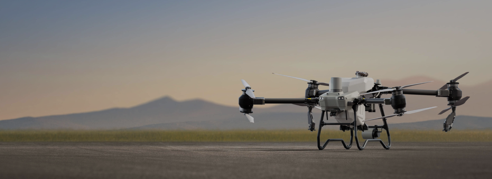
DJI Agras T50 Parts & Kits


Subscribe to get a 1 time discount!
Be the first to know about new collections and exclusive offers.

Free Nationwide Delivery
Free delivery on all DJI Agras Drones

Satisfied or Refunded
Please review our return policy

Top-notch Support

Secure Payments
Provided by Avary Drones
- Choosing a selection results in a full page refresh.
- Opens in a new window.