

Asset Inspection
Painpoints
Manual inspections are time-consuming and inefficient, especially across large mining sites.
Conventional inspection methods typically require significant manpower and resources.
Low inspection frequency might lead to increased operational cost and equipment failures.
Mining assets in hard-to-reach locations present challenges for traditional inspection methods.
Advantages
Easily evaluate assets status, significantly streamlining data collection process.
Reduce cost and improve efficiency with easy-to-deploy aerial data collection solutions.
Collect real-time data, enabling mining operations to respond quickly to changing situations.
Aerial perspective allows you to view assets located difficult areas, offering a more comprehensive inspection.
Solution
Automated Remote Asset Inspection Solution
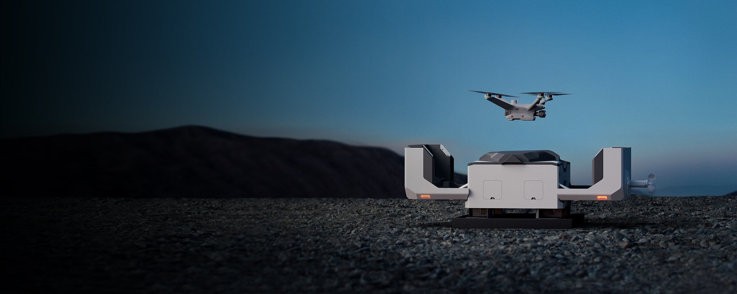
Deploy DJI Dock 2 at the mining site, and use the DJI FlightHub 2 as the control platform to remotely conduct on-site inspections and surveys. The mission progress is broadcasted live and the data can be synchronized to the cloud in real time.
- Fully automated drone missions ensure consistent and regular data collection without the need for constant human oversight.
- Minimizing the labor and time traditionally required for manual drone operations results in substantial cost savings.
- Equipped with a high-accuracy mapping camera.
- Easy to deploy and maintain,and can be operated normally even in high temperature, severe cold, high altitude and heavy rain environments.
Drone Platform
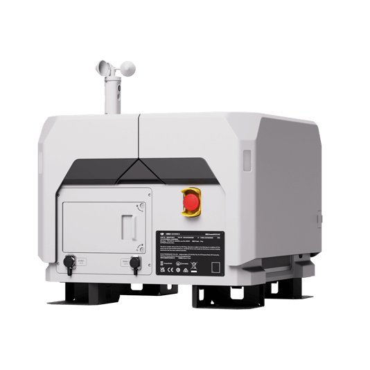
DJI Dock 2
Weight: 34 kg (without the drone).
Size: length 570 mm, width 583 mm, height 465 mm.
Environment adapbility: -25℃-45℃ working temperature, IP55 Rate, max operation height 4,000 m.
Max Operating Radius: 10 km.
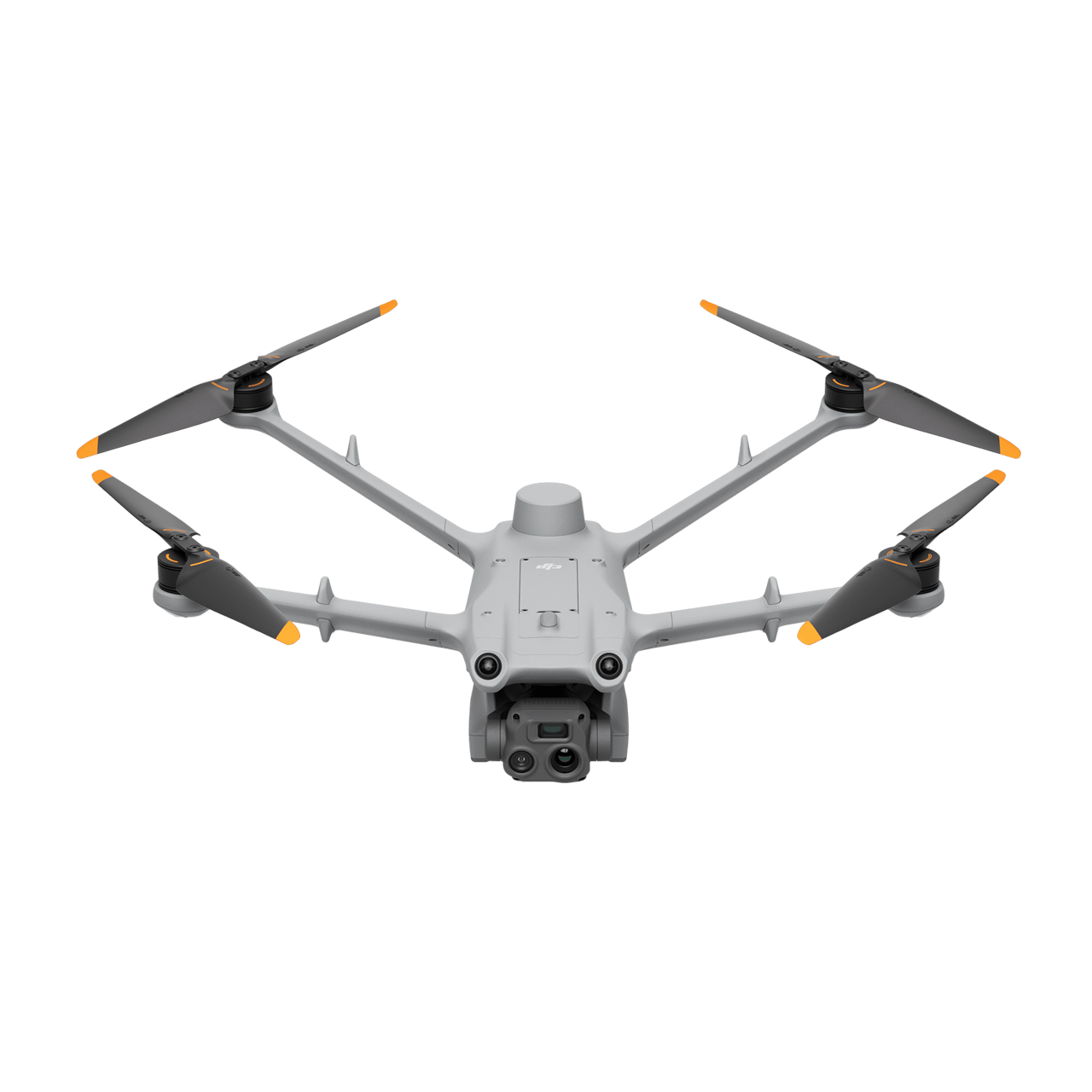
Matrice 3TD
Weigh:1410 g.
Size:length 335 mm, width 398 mm, height 153 mm(without propellers).
Max flight time:50 minutes.
Max Operating Radius:10 km.
Wide camera:1/1.32'' CMOS, 48MP.
Tele camera:1/2' CMOS, 12MP.
Thermal camera:super resolution mode 1280 × 1024@30fps.
Environment adapbility:-25℃-45℃ working temperature, IP55 Rate, max operation height 4,000 m.
Payload And Software

DJI FlightHub 2
Drone and dock's cloud management system
Workflow
- Data Collection: Plan a rountine mission for specific asset inspection or to navigate operation area.
- Data Processing: Automate DJI FlightHub 2 data processing for 3D models.
- Data analysis: Utilize DJI Terra or third-party software for AI analysis.
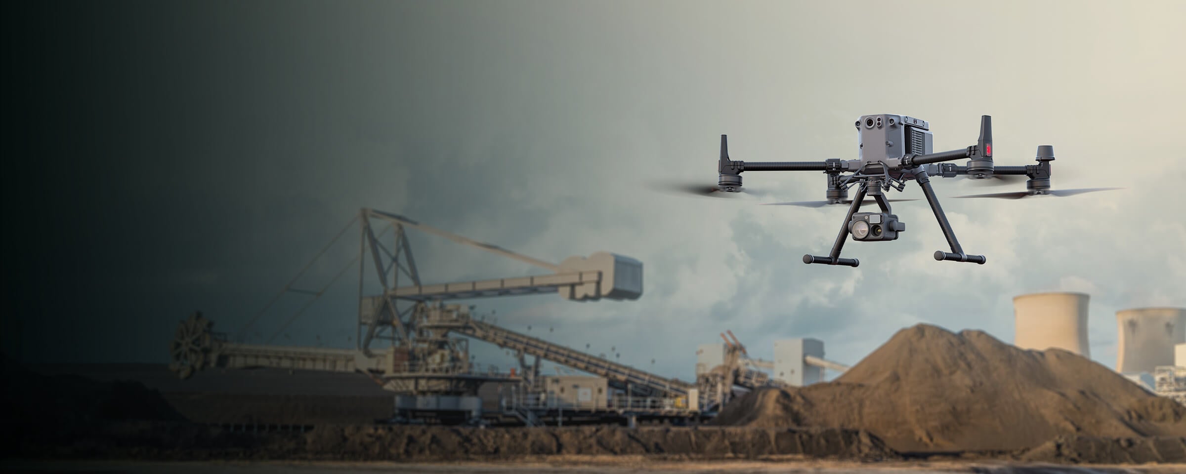
Robust Visual & Thermal Inspection Solution
Matrice 350 RTK paired with the Zenmuse H20T multi-sensor payload for visual and themal data collection, enables operators to inspect critical assets from a safe distance. The multi-purpose platform allows for payload exchange to perform different data collection flights depending on the operational needs.
- Reliable & Robust multi-purposed drone platform.
- H20T Payload features dual-visual, thermal and laser rangefinder sensors.
- Field-work efficiency up to 55 minutes flight time.
- Livestream inspection missions or upload collected data into DJI FlightHub 2 for convenient cross team collaboration.
Drone Platform
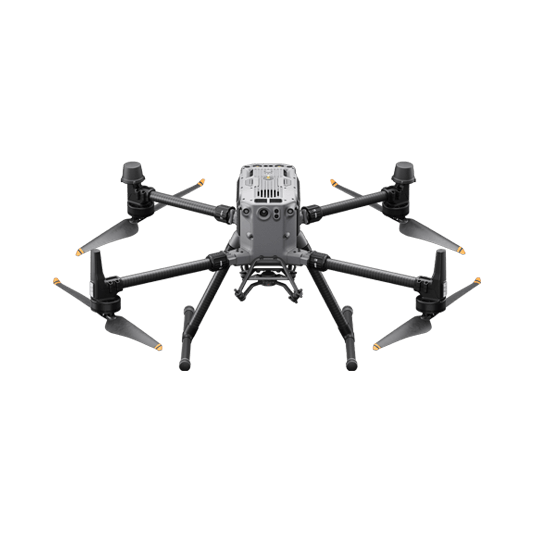
Matrice 350 RTK
Weight:Approx. 6.47 kg(with single downward gimbal and two TB65 batteries).
Max Flight Time:55 minutes.
Sensing system:Six-directional sensing and positioning.
Environment Adaptability:IP55, Max Service Ceiling Above Sea Level 7,000 m (with 1676 propellers,without other payload); Max Wind Resistance 12 m/s.
Payload And Software
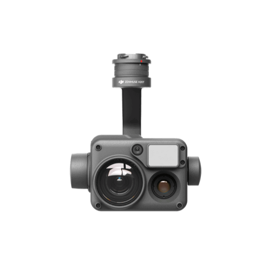
Zenmuse H20T
DJI FlightHub 2
Drone and dock's cloud management system
Workflow
- Data Collection: Manual inspection flight or use live mission recording for future repeteable mission.
- Data Processing: Use DJI FlightHub 2 to provide live transimission feed or upload data collected in the cloud for efficient team collaboration.
- Data analysis: Use DJI Thermal Analysis Tool or any preferred 3rd party software for in-depth thermal or visual analysis.


